
Licensed & Insured
FAA Part 137
FAA Part 107
QAL
PCA
APC
We Accept
Payment methods
AeroSpray / Services
Six services. One integrated aerial system. Every capability is data-driven, terrain-agnostic, and built on the only license stack of its kind.
Precision Spraying
Most spray programs are designed around convenience — not your land. AeroSpray is built around the data your land is already telling you, if you're listening.
Variable-rate application based on aerial scanning data. The right product, the right rate, the right location. Eliminates the blanket over-spray that inflates most chemical budgets.
Slopes, tight spaces, drainage corridors, sensitive turf — AeroSpray operates where trucks and ride-ons can't go safely or legally, without the liability of a manned aircraft.
Every spray run is logged — product used, coverage area, application rate, GPS-mapped zones. You get a clear record, not a verbal estimate.
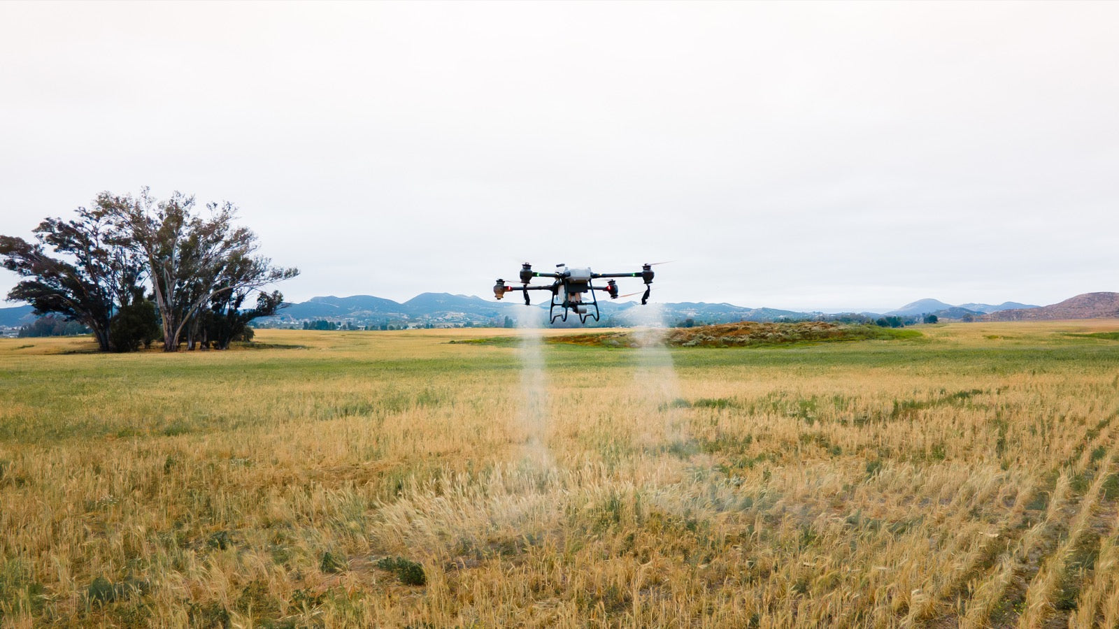
By The Numbers
Traditional Ground
AeroSpray
Application rate
2–4 acres/hr
50–100 acres/hr
Soil compaction
Yes — ruts, turf damage
Zero
Terrain access
Flat, firm ground only
Any terrain
Application precision
Blanket / calendar-based
Data-driven, variable-rate
Seeding & Spreading
A completely separate capability from liquid spraying — granular and dry material deployment for seeding, fertilizing, and amending land that ground equipment can't service effectively.
Steep slopes, waterlogged fields, soft turf — dry material deployment from the air reaches zones that ground spreaders damage or simply can't access. No compaction. No crew safety risk.
The T50's granular spreader system delivers consistent coverage across large areas in a fraction of the time. Overseeding a 150-acre course takes hours, not days.
Grass seed, fertilizer, pelletized soil amendments, granular pest control — the same aerial platform handles all of it. One operation, multiple inputs where the data says they're needed.
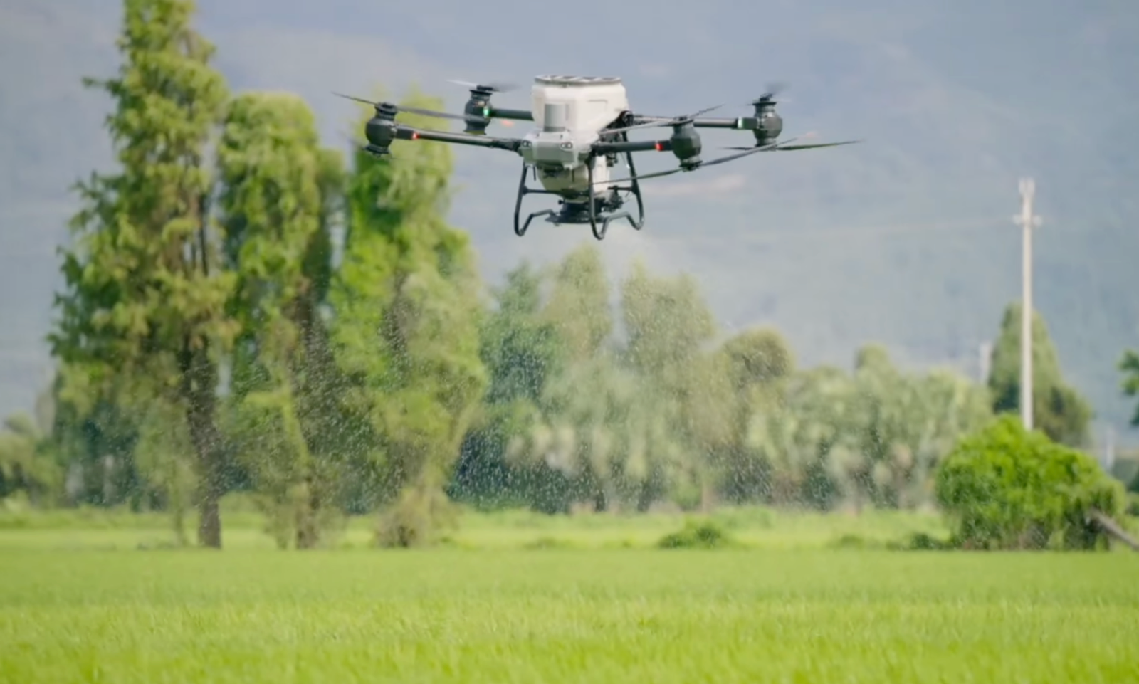
Applications
Fairways, roughs, and damaged turf zones — targeted to where the map shows thinning.
Variable-rate granular application based on soil scan data. Apply what each zone needs.
Large-scale agricultural fields seeded quickly between harvest and the next growing season.
Lime, gypsum, and pelletized conditioners applied uniformly across any terrain type.
Additional Capabilities
Aerial Mapping & Surveying
Every AeroSpray operation begins with a mapping flight. High-resolution aerial data gives you a precise picture of coverage zones, obstacles, terrain variation, and efficiency opportunities before a single drop is applied.
Golf Course Management
Golf courses spend $80K–$180K per year on turf chemicals, most of it applied on a calendar with no data behind it. AeroSpray maps the course, treats what needs treating, and builds a seasonal record that makes every application more precise than the last.
Preventative Fire Spraying
Reactive fire response is expensive and dangerous. AeroSpray deploys fire retardant aerially on slopes, ridgelines, and high-risk zones before conditions shift — reaching terrain that ground crews can't safely access and at a fraction of the cost of contracted air tankers.
Crop Monitoring
Irrigation failures, disease pressure, pest activity, and soil variance all show up aerially weeks before they're visible at ground level. AeroSpray's monitoring program gives you a continuous data stream — not a snapshot — so you can act before the damage is done.